

The province of Manitoba will begin work on mapping a number of flood prone areas over the next three years with funding from the federal government.
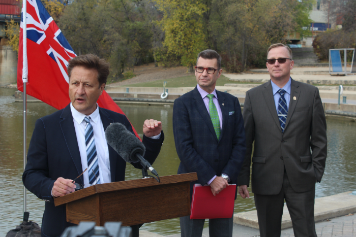
Doug Eyolfson, Member of Parliament for Charleswood-St. James-Assiniboia-Headingly and provincial Minister of Infrastructure Ron Schuler announced $794,520 in federal funding to the province of Manitoba under the National Disaster Mitigation Program (NDMP) to support flood mapping in key areas.
The areas included are the lower Assiniboine River from Portage La Prairie to the West Perimeter Highway, the Whitemud River and the Souris River, according to Schuler.
“Improved knowledge of flood risk will assist communities to prepare for and respond to floods, reducing the need for evacuations and the amount of damage spring flooding can cause,” said Schuler. “This gives us a way better idea of the elevations in these areas right down to the small scale of where the water will be flowing.”
Schuler says the results of this mapping process will provide governments, municipalities and businesses with a better understanding of where they should or shouldn’t develop.
He’s hoping it will be done within the next three years.
“It would be nice if it was done sooner because then we can start looking at the data and deciding what we should do with it,” he said. “Certainly we want to share this with our municipal partners and then we can sit down and have a conversation.”
Schuler also hopes this project can give the province an opportunity to identify areas that need extra flood protection and areas where structures need to be moved because the flood risk is too high.
“We have historical data from previous floods but this will give us the real science behind where people are in danger,” Schuler said. “We need to start making decisions based on science.”
The NDMP is a partnership between the federal government and the provinces and territories that will see Ottawa invest $200 million over five years to reduce the impacts of natural disasters. $183 million of that is available for cost-shared, merit based projects like this one.
“It’s crucial to focus on flood prevention and mitigation and the government does take these threats very seriously,” said Eyolfson, who was speaking on behalf of Ralph Goodale, federal Minister of Public Safety and Emergency Preparedness. “Building a safer and more resilient Canada is a shared responsibility.”
The value of the entire mapping project is approximately $1.6 million split between the provincial and federal governments.


 Sun, May 5, 6:00 PM
 Full-time, Permanent, Salary, Administrative, Hospitality, Human Resources, Sales, Skilled Trades
 Featured